")
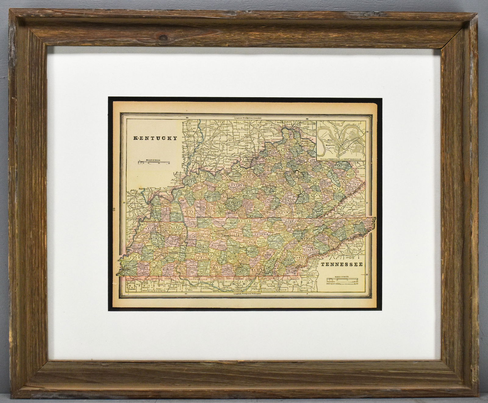
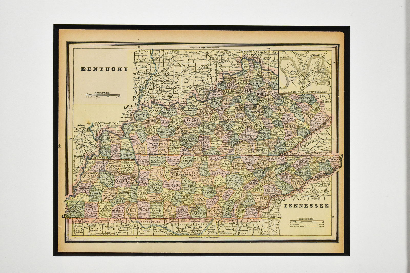
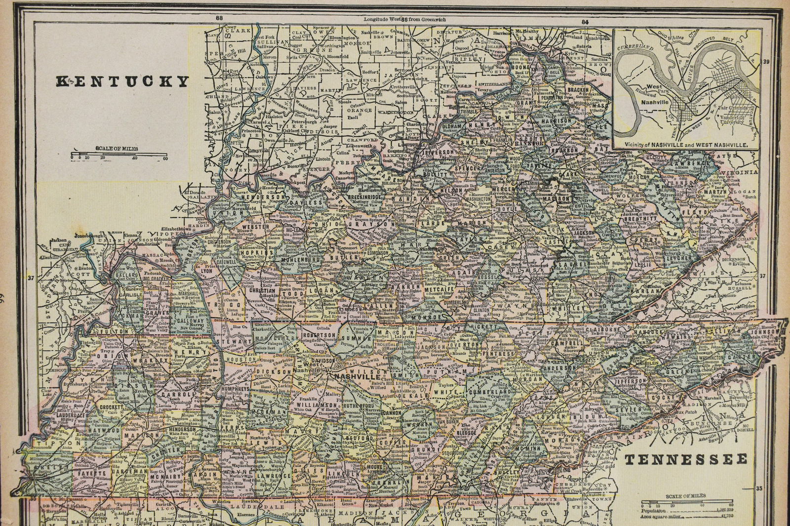
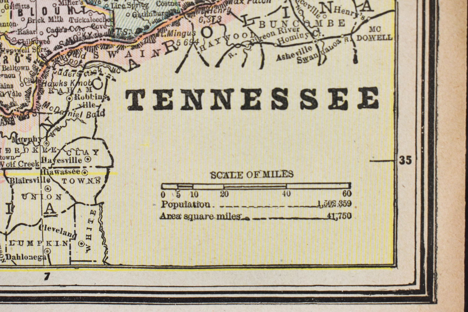
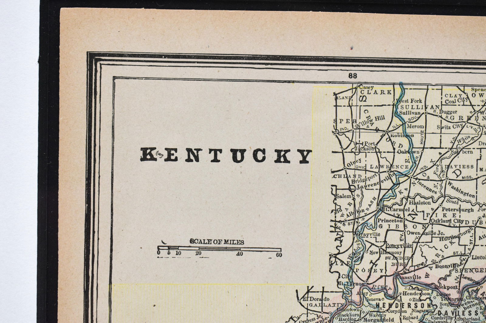
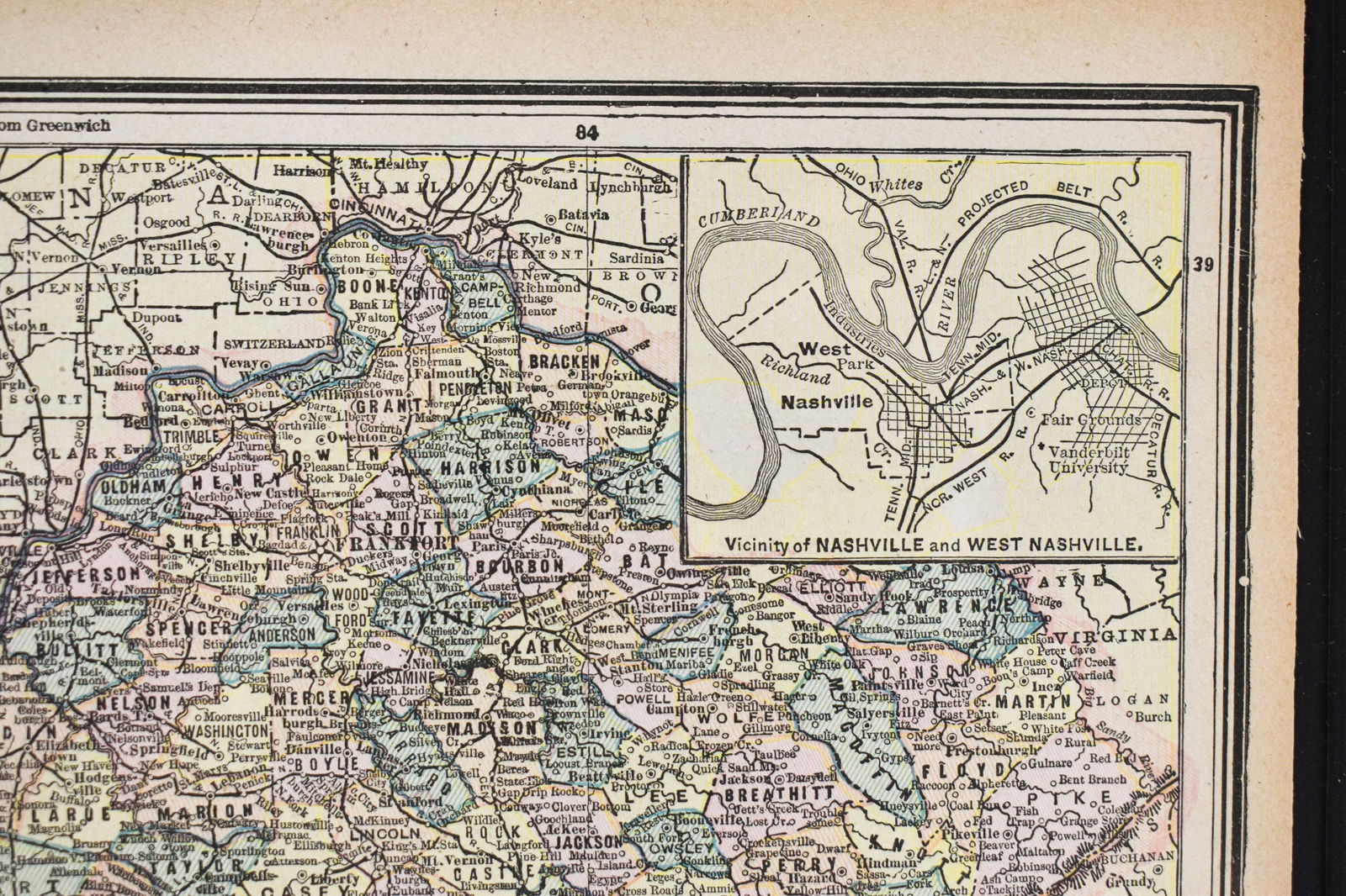
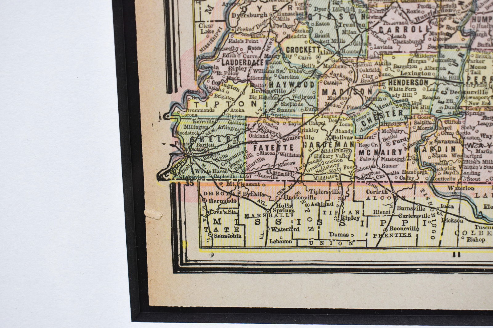
Map displaying Kentucky and Tennessee including the cities and counties. Reportedly circa 1885 but dates and publishers are not visible.
Framed: 19"H x 23"W. Map: 10"H x 13"W.
Condition: Good antique condition with one light crease line down the center and some discoloartion along the edges of the paper.
Share this lot:
