")
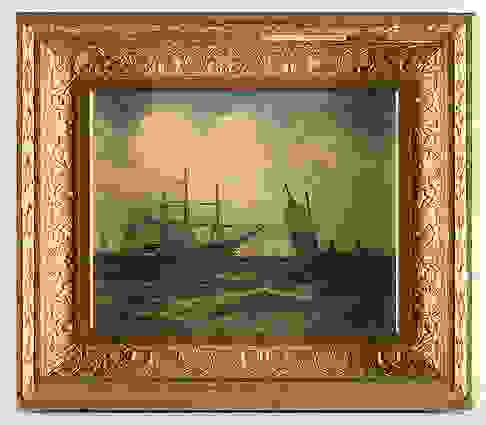
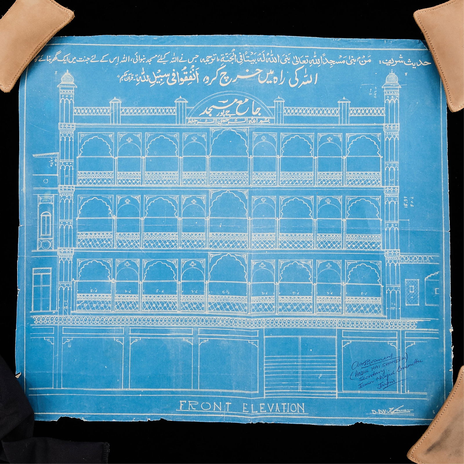
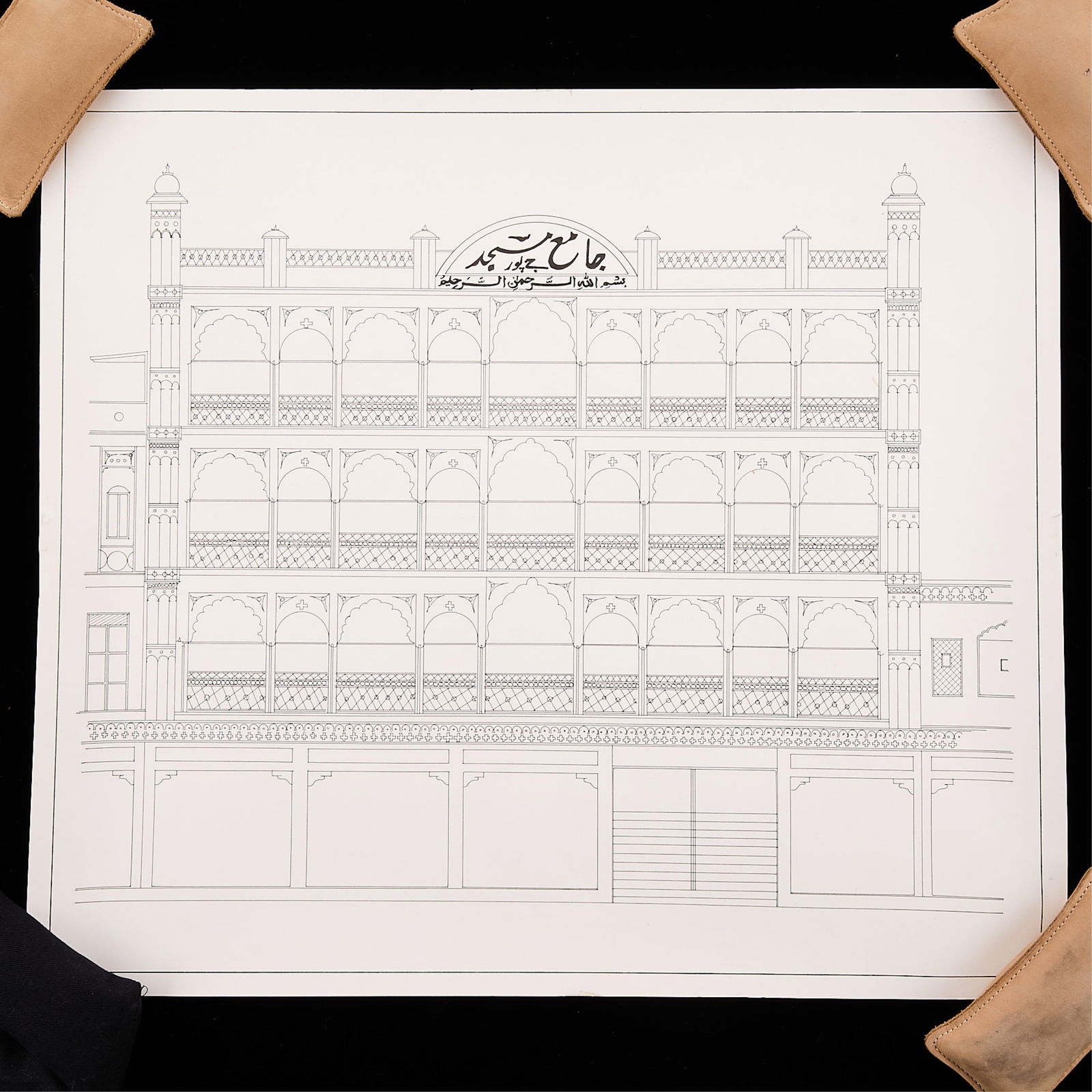
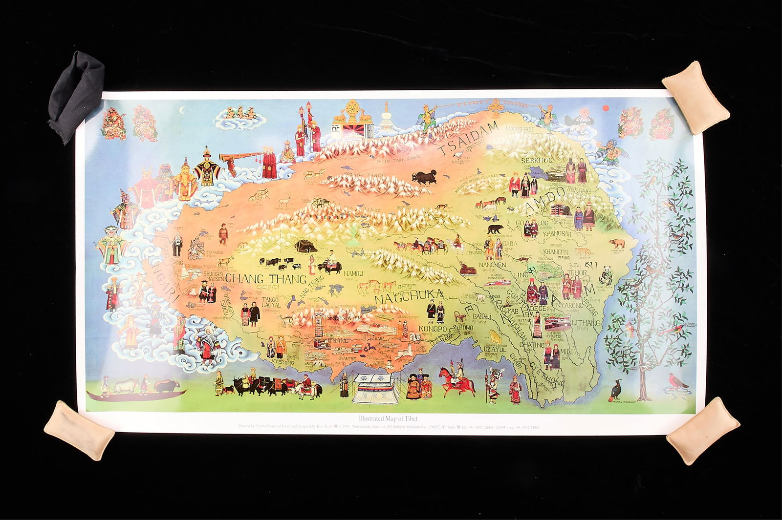
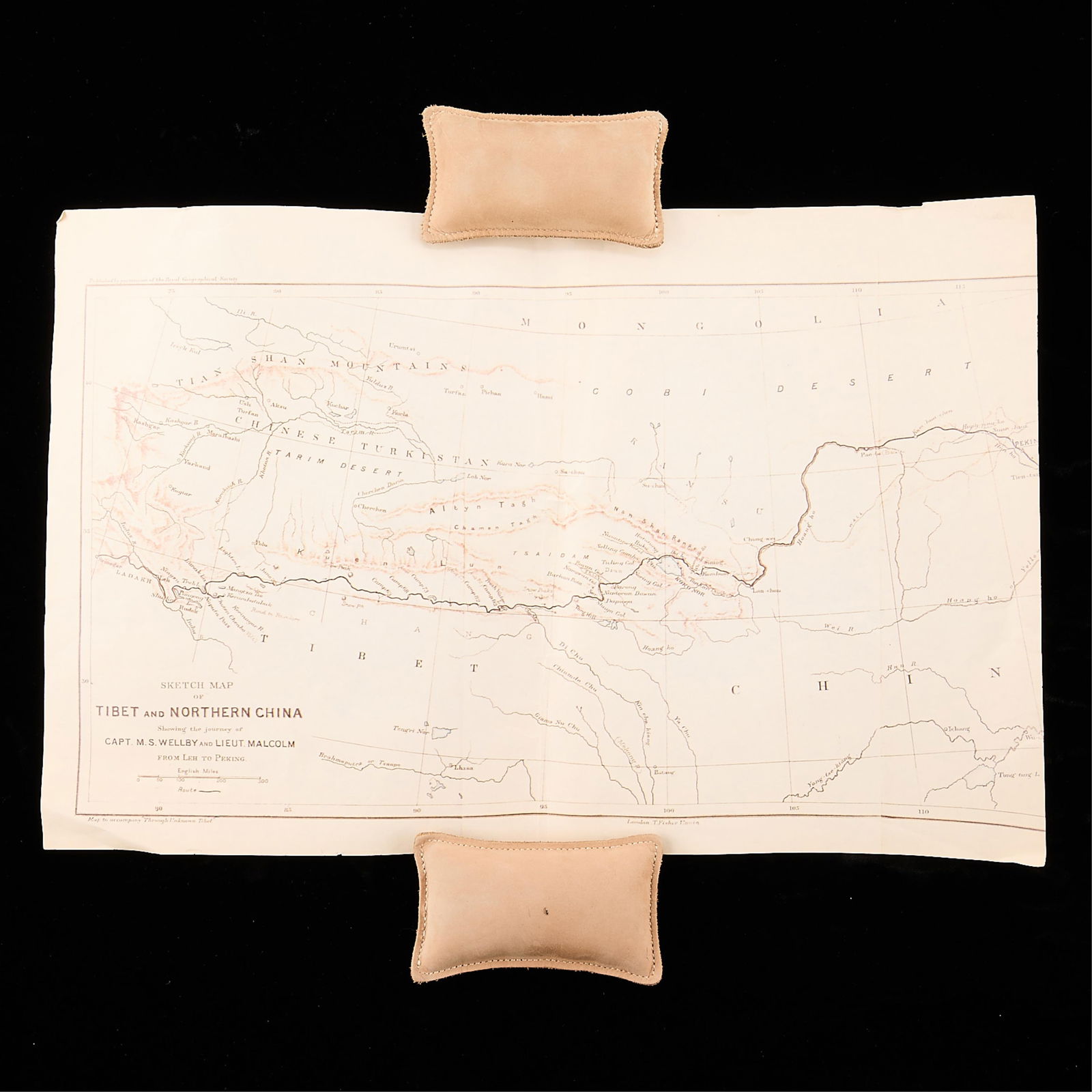
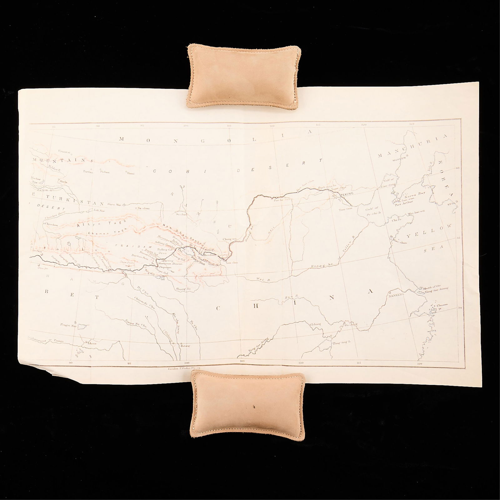
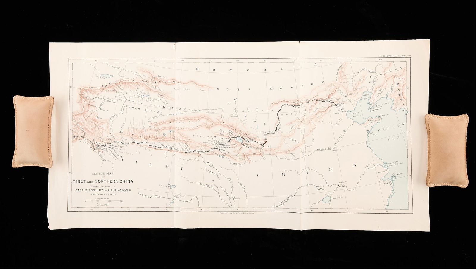
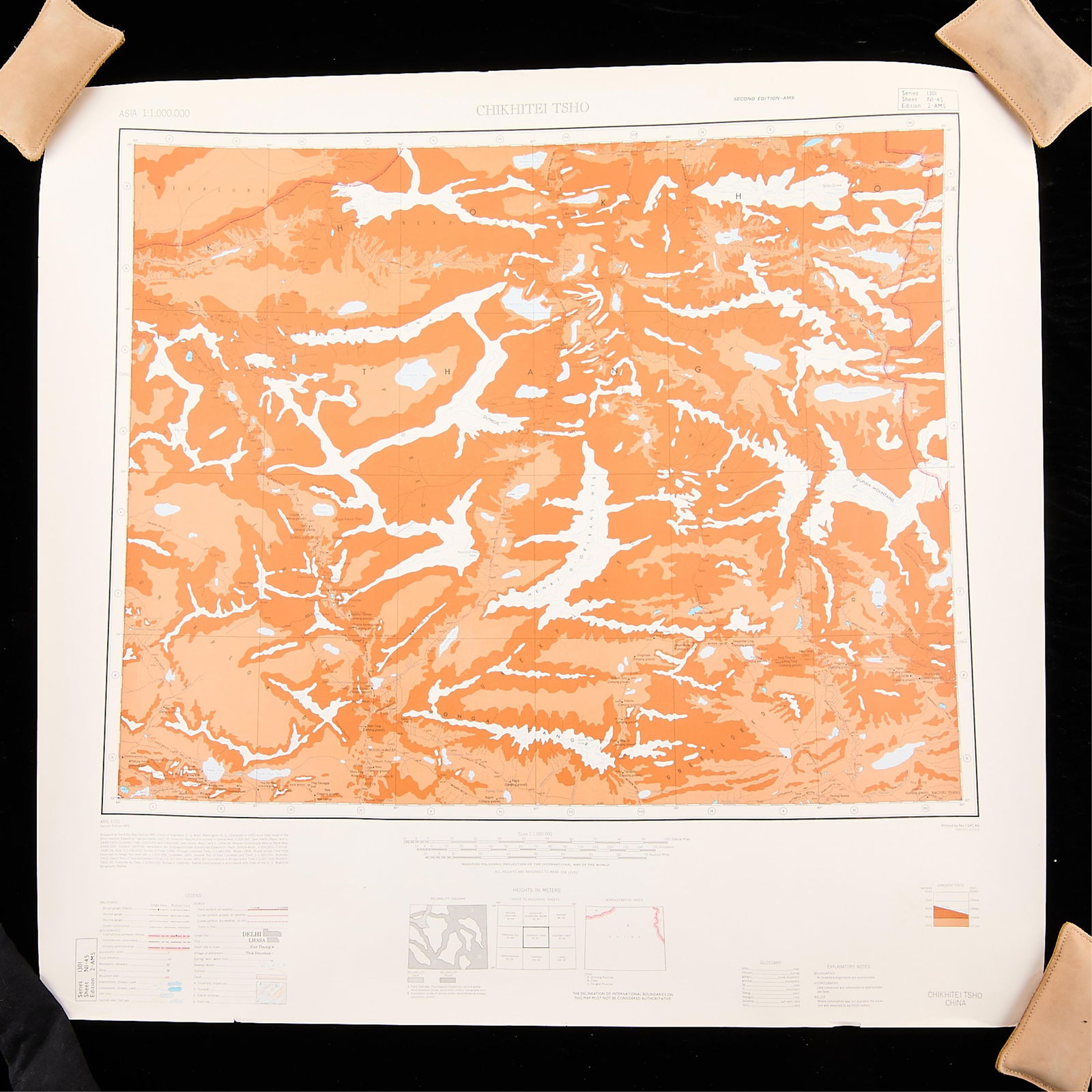
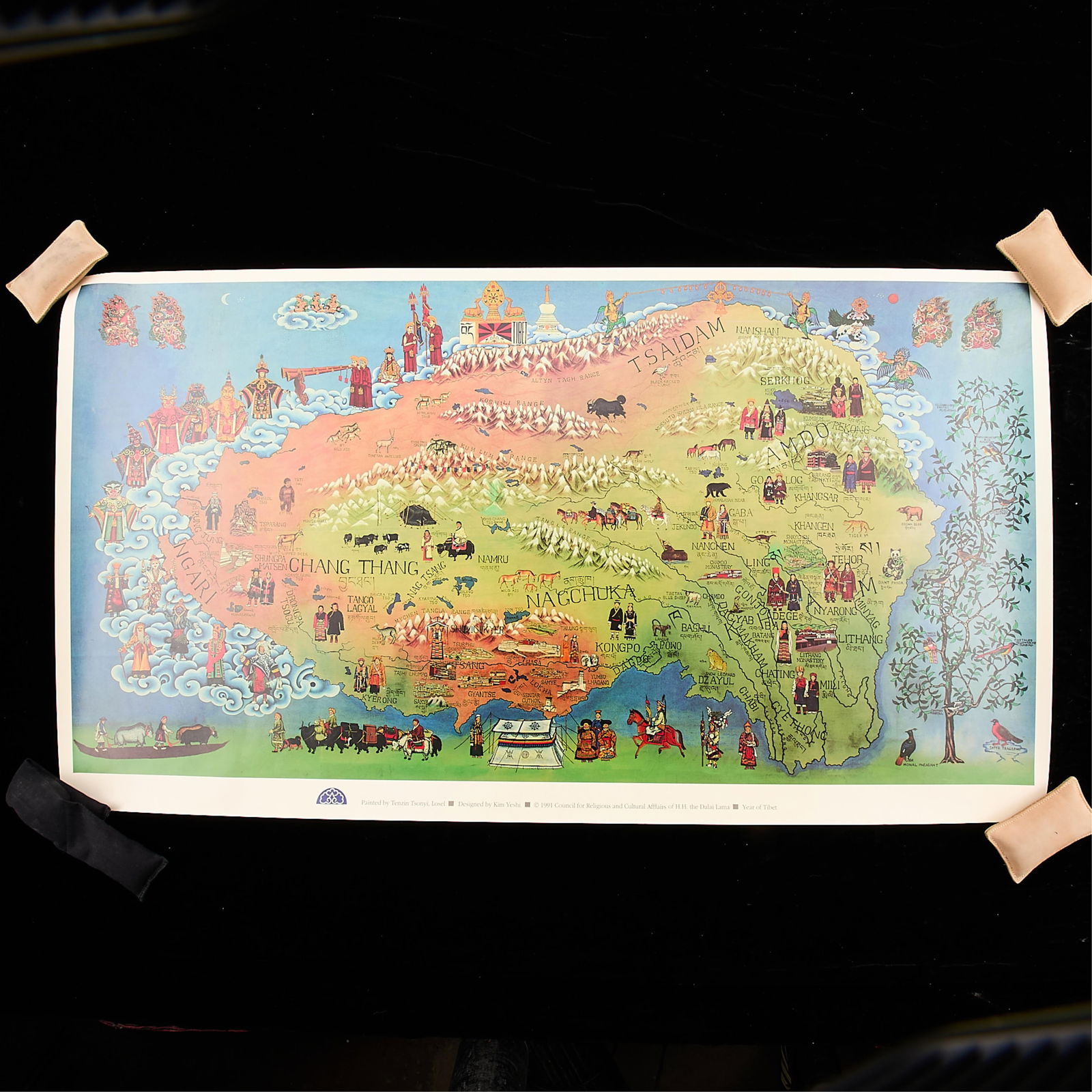
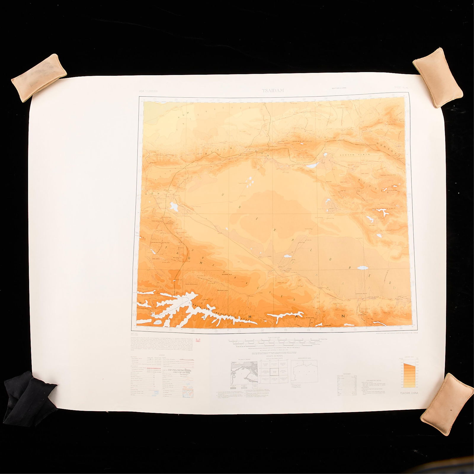
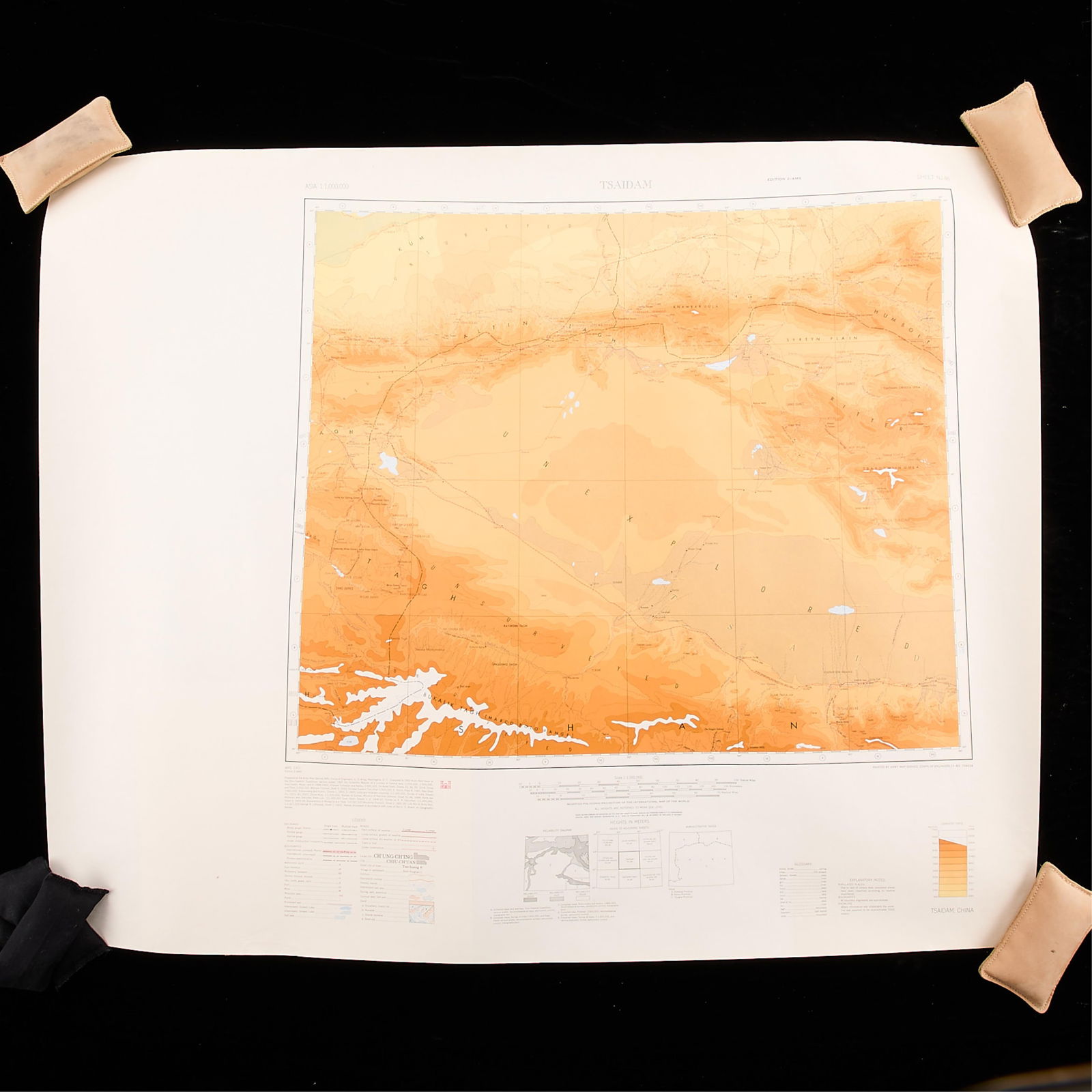
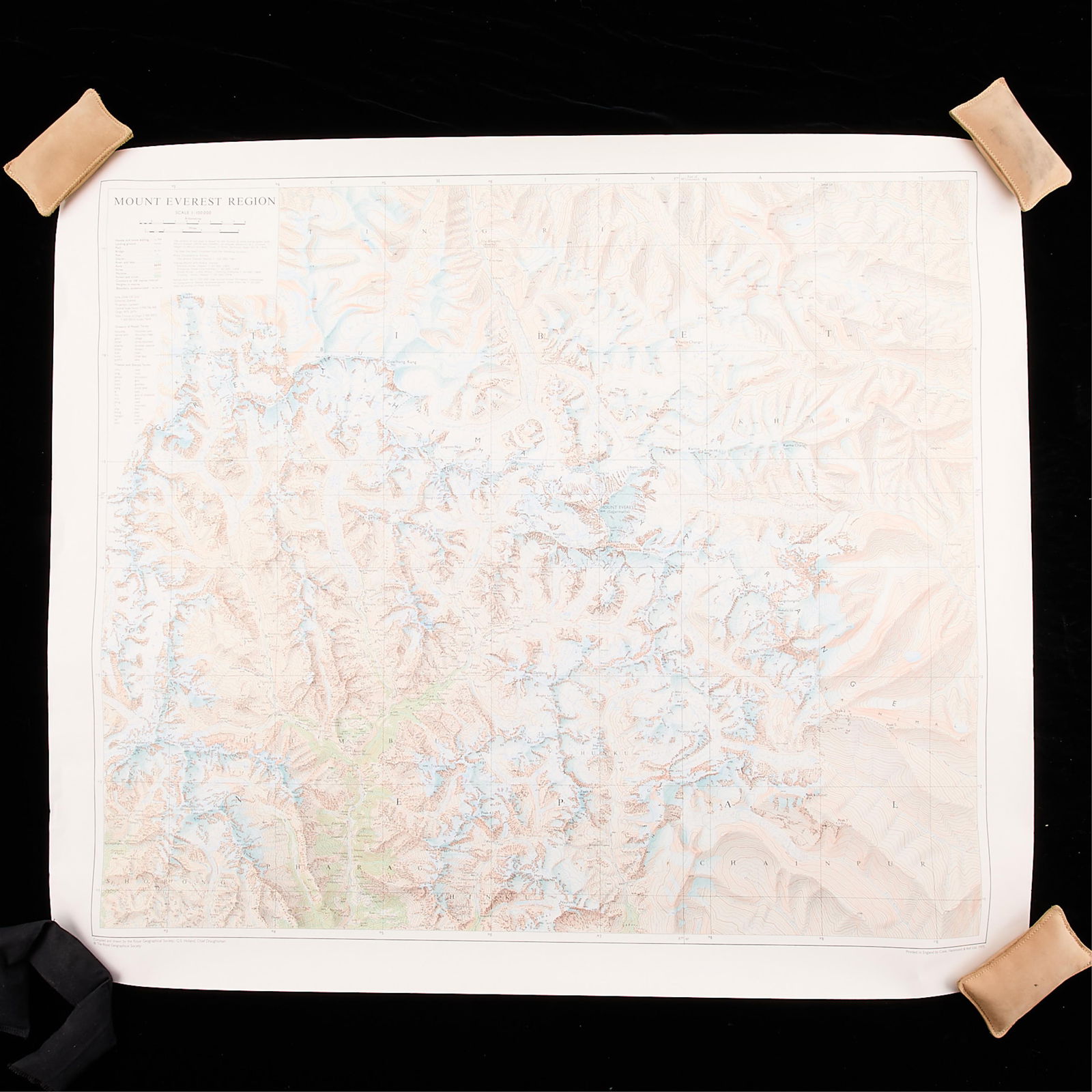
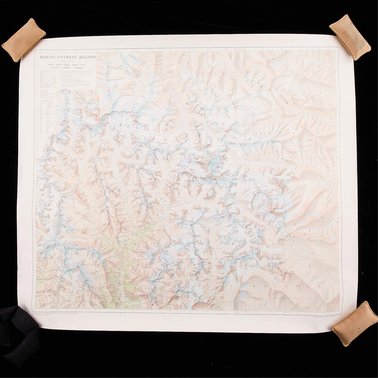
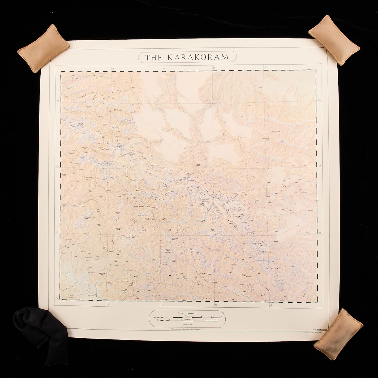
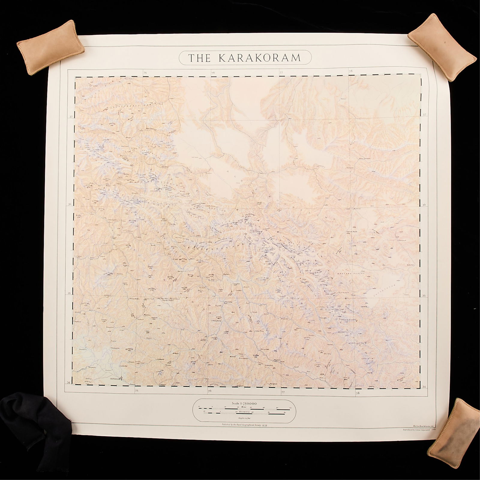
Collection of Asian maps. Including two illustrated maps of Tibet (1991 & 1997), map of the Mount Everest region, map of Chikhitei Tsho, map of Tsaidam, two maps of the Karakoram
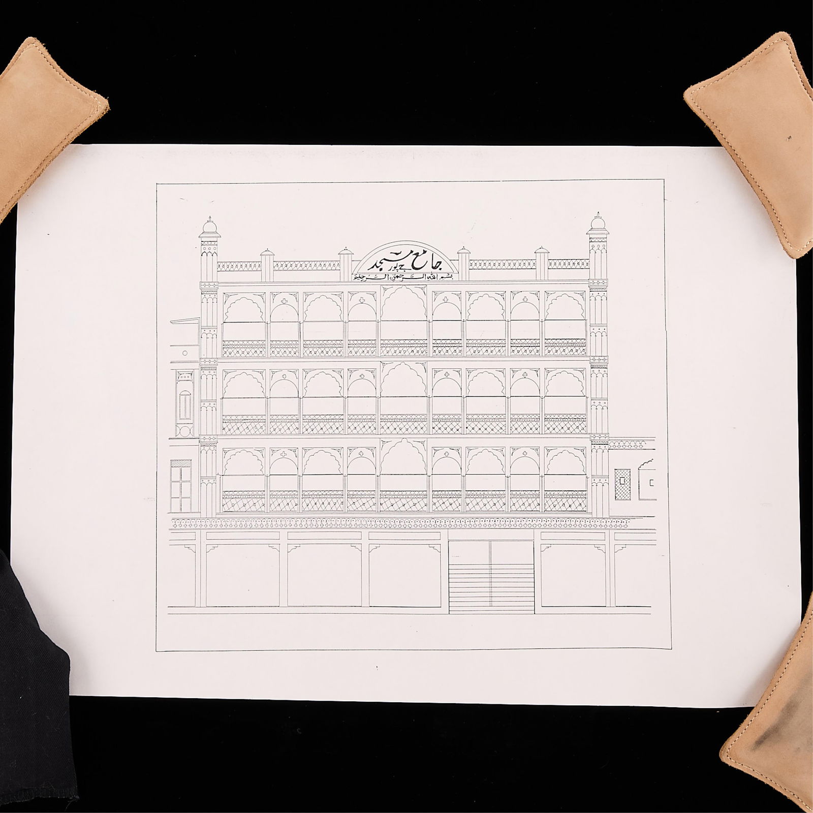
mountain range, three architectural maps of Jama Masjid (two black and white designs, and one elevation blueprint), three maps of Tibet and Northern China, depicting the historic journey of Captain M. S. Wellby and Lieutenant Malcolm, and one French map of South Asia.
Height ranges from 11 in to 28 in; width ranges from 8 1/4 in to 40 in.
Condition: Wear commensurate with age and use.
Share this lot: